
Post 2: Our First Deployment
We released our first set of four drifters into Cape Cod Bay on Friday (10/24/2025)! We had planned to deploy them a few days earlier, but weather conditions prevented us from going out. We finally had a window on Friday – which, unfortunately, was a day I was unable to join. So, thank you to the crew of the RV Tioga for deploying the drifters for us!
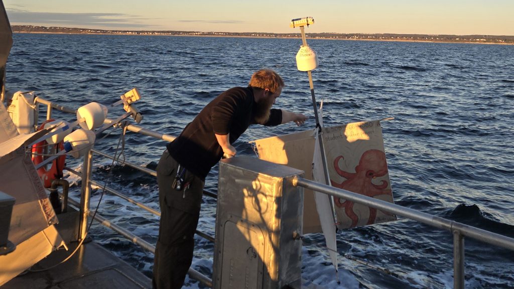
Drifters
Here are the drifters we launched. Their number corresponds to the colored marker in the site map below.


Selecting Our Release Sites
As part of our planning for this deployment, our team has been working to establish exactly where the drifters should be released within the Bay. Two years ago, we used ocean models to predict the probable spreading pathways of a potential release of wastewater from the Pilgrim Nuclear Power Station (PNPS); now is our opportunity to test our model findings with real-world data from the drifters. We aim to answer two main questions: Where does water near PNPS travel? Does the movement of water out of the Bay vary by season? Motivated by these questions we chose the following four locations (see the map below):
- Drifter 1 (red marker) is approximately 2 miles south of PNPS. We chose this latitude to help us determine the boundary where water particles will either stay in the Bay or exit it. The latitude is close enough to PNPS to help us understand the surrounding currents without being in a region where our model results show a near zero percent probability of exiting the Bay in all seasons.
- Drifter 2 (yellow marker) is at the same latitude as PNPS. Since we are interested in what happens to wastewater released from PNPS, it makes sense to release a drifter at the same latitude.
- Drifter 3 (teal marker) is halfway between PNPS and the latitude of our northernmost drifter.
- Drifter 4 (purple marker) is at the same latitude as Race Point, off Provincetown. Our model results suggest that drifters launched this far north, while still in the Bay, have an increased probability of exiting the Bay in spring and summer.


Looking at the map, you might be wondering why we don’t release the drifters closer to shore. We decided to release each drifter roughly 3-4.5 miles offshore in order to prevent them from being immediately pushed onshore by the tides or strong wind gusts.
Now that our first drifter deployment is underway, I am excited to see where the drifters end up and how they get there! Which drifter will arrive on shore first? What path will it take?
If you want to track the drifters with me, you can go to https://studentdrifters.org/tracks/drift_osteam_2025_1.html where their positions are updated every few hours.