
Chatham Takes a Bold First Step in Coastal Floodplain Planning

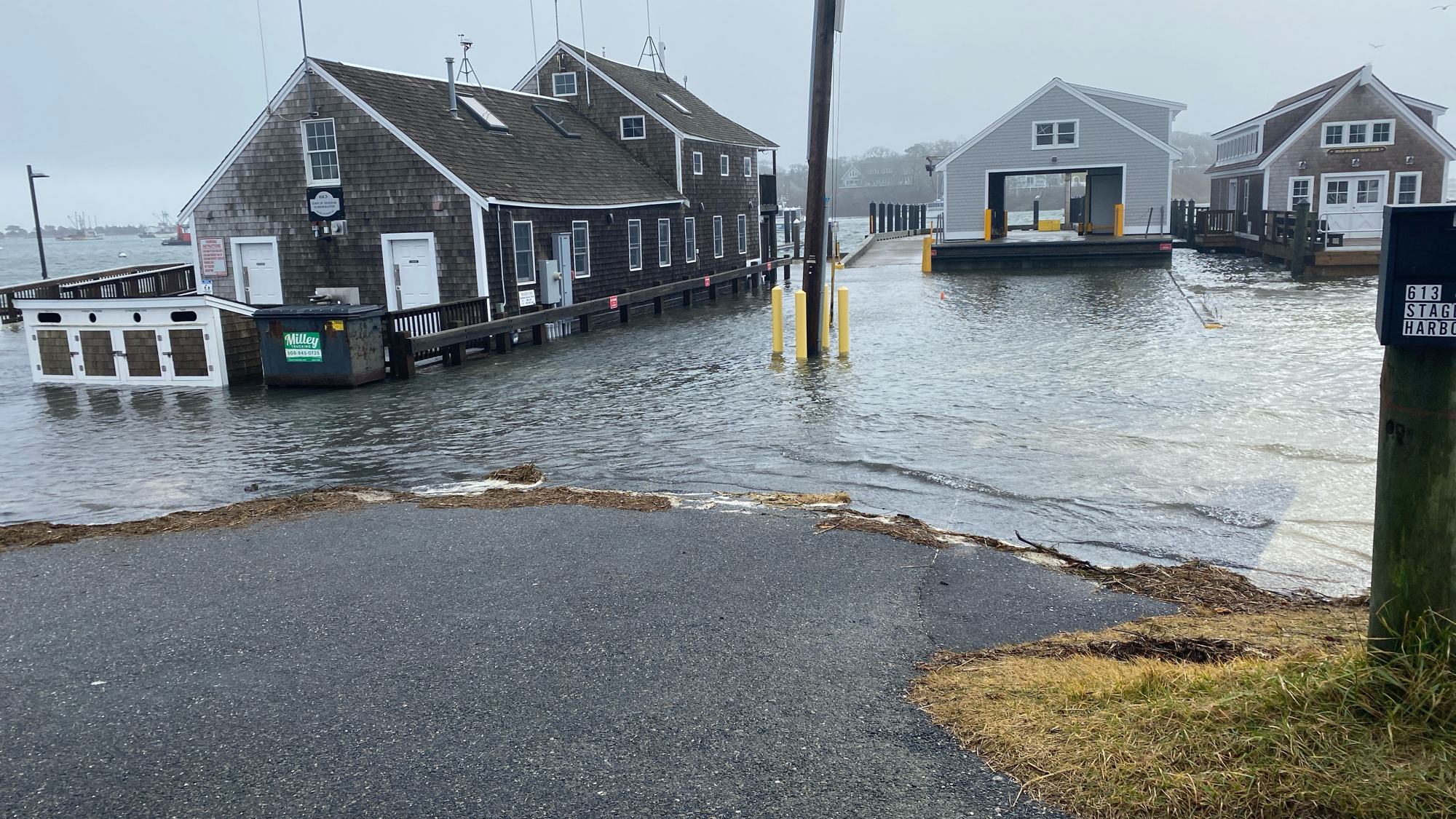
As sea level rise threatens Cape Cod's shorelines, local communities are seeking proactive ways to protect properties and ecosystems. With the help of the Cape Cod Commission, WHOI Sea Grant and others, several towns have been exploring the adoption of a suite of model bylaws and regulations to fill gaps in their ability to regulate activity in flood-prone areas; a recent action by the town of Chatham makes it the first to adopt one of these model regulations.
Why are the bylaws needed?
Local conservation commissions are authorized to regulate much of what happens in flood-prone areas through the Massachusetts Wetlands Protection Act (WPA). The WPA provides commissions clear guidelines on how to regulate activity in specific coastal and inland resource areas, such as beaches, dunes, vernal pools, cranberry bogs, salt marshes, and floodplains. For example, prohibiting the building of hard, non-absorbent surfaces that exacerbate runoff, including patios, tennis courts, and swimming pools and restricting projects from altering natural topography in ways that channel or redirect floodwaters onto neighboring properties.
However, the floodplain is an unusual, unique wetland resource area. While it heavily overlaps other protected areas (like salt marshes) that have strict rules, there are parts of the floodplain—such as dry upland areas and streets—that do not overlap and have no clear guidelines under the Wetlands Protection Act. If an area is just subject to coastal flooding without overlapping another resource, notes WHOI Sea Grant floodplain specialist Shannon Hulst, "there's really nothing in there that says what they need to do," making these parts incredibly challenging to regulate from a natural resource perspective. “We need to protect those so that they can absorb flood waters instead of continuing to develop them, and so we can protect what's already there and what's behind it from storms and flooding," Hulst said.
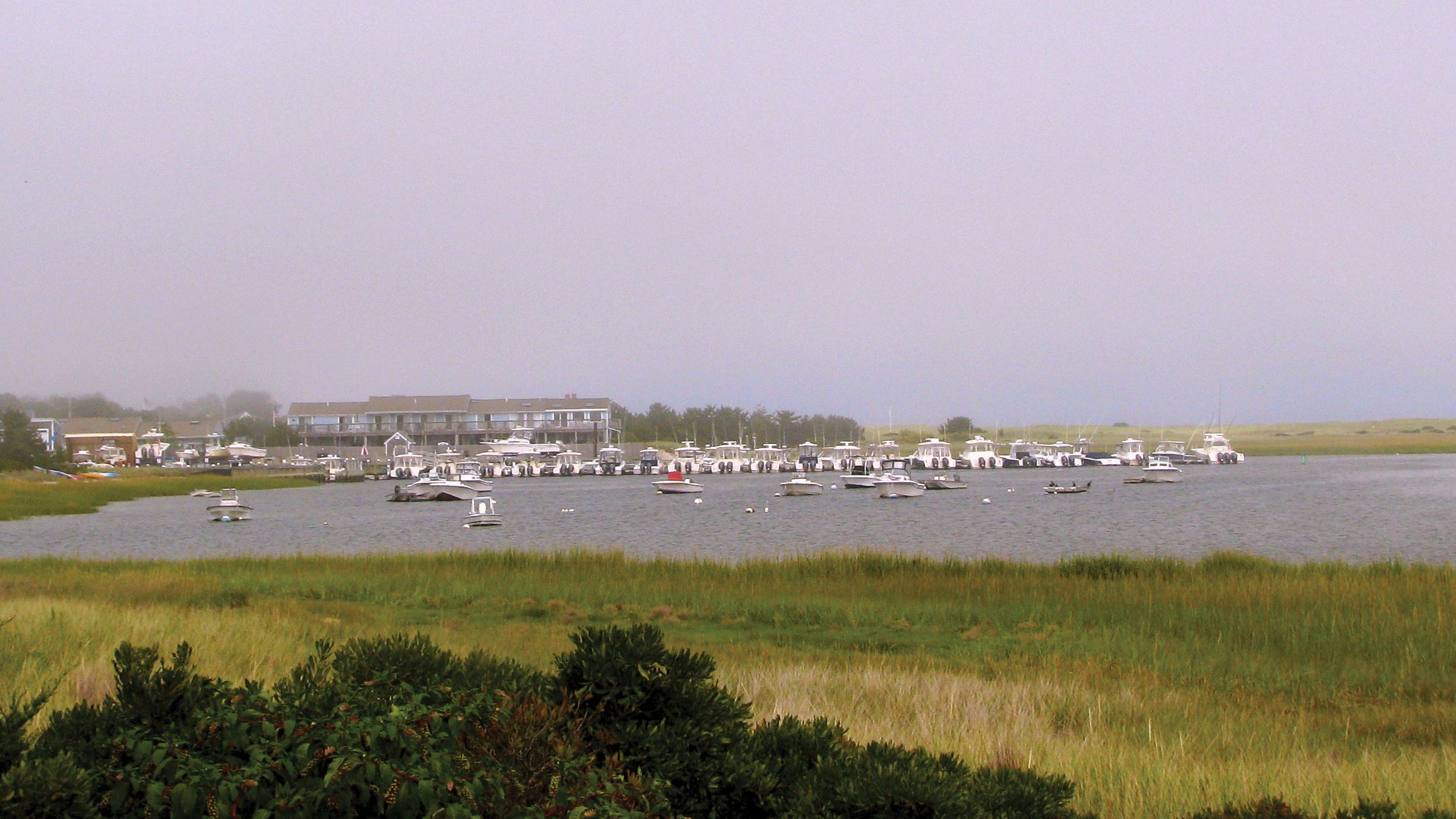
The suite of model regulations were developed to fill this critical gap. Recognizing that each community has unique needs, the Hulst and her colleagues used a flexible framework. "It's basically an à la carte set of options," Hulst says.
Chatham’s experience
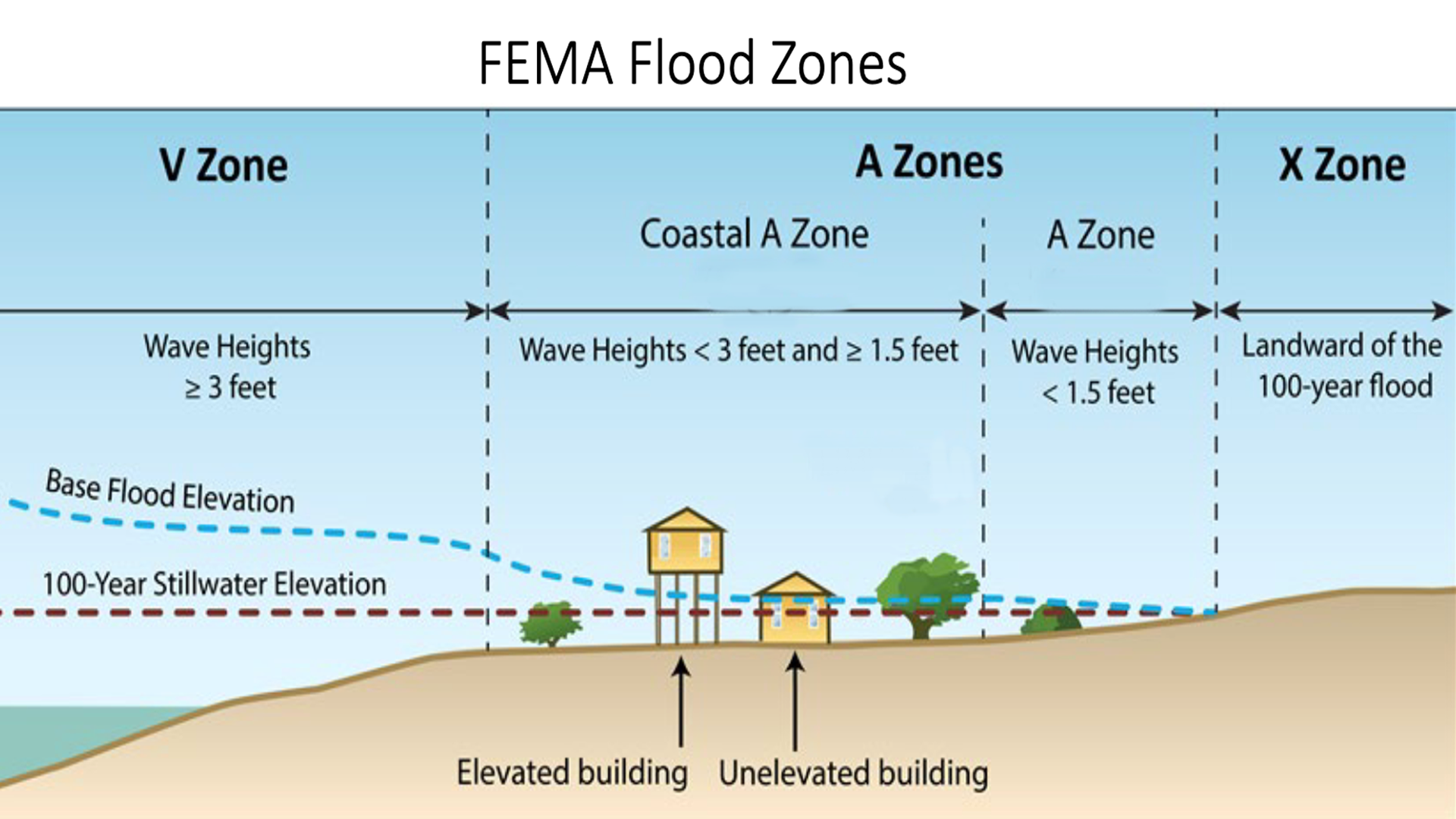
The Chatham Conservation Commission chose to tailor these models by adopting regulations that apply strictly to the town's existing floodplain. The rules now prohibit new structures and footprint expansions in the highest-risk flood zones (V and Coastal A zones), stopping homeowners and developers from replacing small cottages with large, footprint-expanding homes. The rules also restrict storage of hazardous materials and include a "substantial damage" provision preventing the rebuilding of homes that have been significantly damaged twice in high-risk areas.
“By restricting new structures and footprint expansions, Chatham is actively protecting the floodplain’s natural function of absorbing floodwaters, as well as reducing the likelihood of storm debris ending up in natural resource areas,” says Hulst. “Keeping these areas free of intense development increases resilience across the whole community.”
Hulst is optimistic about Chatham’s trailblazing effort. "Other towns are watching the progress in Chatham, and that makes it easier for them to follow their lead."
Hulst adds: "As towns adopt the bulk of these regulations, Cape Cod will be much better prepared for sea level rise and will be on the leading edge of community adaptation."