
Forecasting for the Navajo Nation: Learning the Landscape, Culture, and Language
Tony Merriman, NOAA’s National Weather Service in Flagstaff, AZ and Doug Watchman, Navajo Nation Department of Emergency Management in Window Rock, AZ
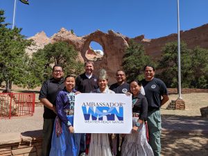
Did you know that the Navajo Nation is the size of West Virginia, and encompasses 27,000 square miles, extending into the States of Arizona, New Mexico, & Utah? More than 250,000 people live within the Navajo Nation’s borders, and it is the job of NOAA’s National Weather Service to help protect their lives and property through accurate forecasts and warnings. Tony Merriman, a Warning Coordination Meteorologist with NOAA, and Doug Watchman, an emergency services liaison for the Navajo Nation, will join us to share information about this beautiful and complex landscape, where language, culture and infrastructure all influence the way NOAA fulfills its mission.
Resources to access at home:
» NWS Navajo storm pattern rug weather poster: This poster includes both cultural and linguistic information
» Guide to the Navajo Nation Seal (YÁ ’ ÁT ’ ÉÉH): This lesson is courtesy of the Central Consolidated School District, Shiprock, NM
» Ní’tsíí Níłtsą́ Yaahaalne’ – Hair Tells the Weather (Bilingual Navajo & English): Science isn’t all about numbers. In 2017 the National Weather Service learned of the importance of the Navajo Tsiiyéeł and the relationship with weather. This video is about 3 1/2 minutes long.
» NWS experimental weather dashboards for tribal lands (these are referenced in the webinar)