
Helping Big Ships Bring Goods into Port So You Can Have What You Need
May 8, 2020
Kyle Ward and Louis Licate, NOAA’s Office of Coast Survey in Charleston, SC and Miami, FL
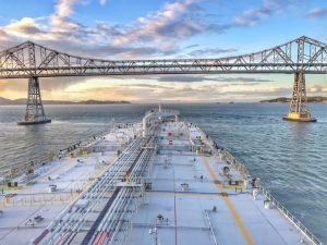
Scientists, engineers, and mariners use NOAA’s products and services to slide underneath bridges, navigate tight turns, and dock alongside ports so that everything from groceries to games are available in stores for you to use. Come learn about how the Office of Coast Survey keeps America’s commerce moving! (Grades 2-6 but all ages will enjoy)
Resources to access at home:
» You can view charts in your area here: https://www.charts.noaa.
» We’re all connected video that Kyle showed during the webinar
» World Map of Ship Routes YouTube Video that Kyle showed during the webinar
» Vessel Traffic Data (AIS) for US coastal waters between 2009-2017